
 Earth & Space
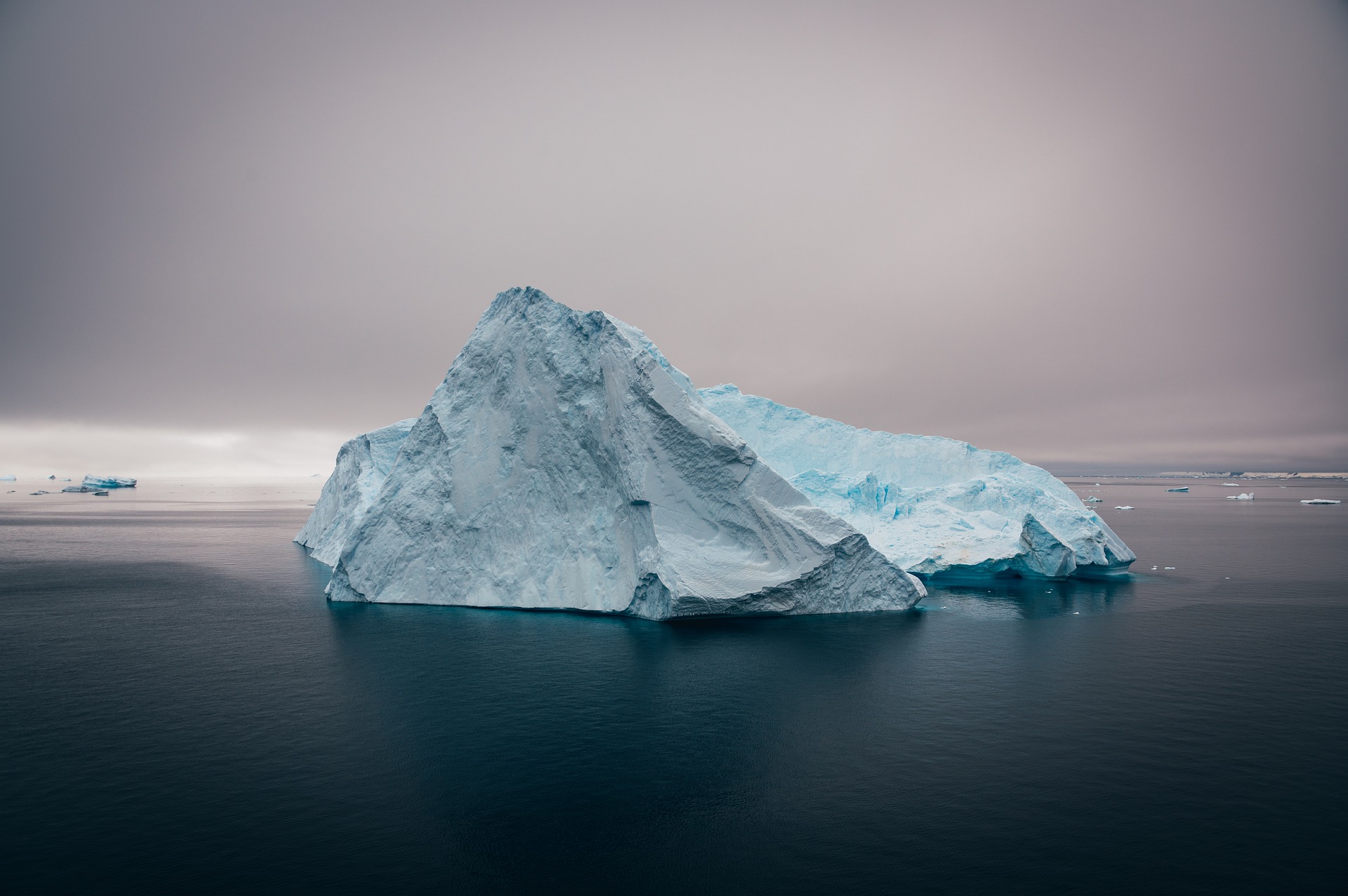
The secrets hidden under the Antarctic ice sheet
Antarctica is losing ice. The shape of the bed under the ice sheet may explain why some sectors are more vulnerable to climate change than others. It is, however, extremely difficult to see through thousands of meters of ice. By combining measurements at the surface with math, we find the deepest canyon on Earth and ridges that have important consequences for its future stability.
The Antarctic ice sheet has been losing ice at an increasing rate. It remains unclear whether this mass loss will further accelerate over the coming decades. The continent of Antarctica is vast, bigger than the US and Mexico combined, and because it is so cold there, the snow does not melt and becomes ice. The ice layer is so thick that it deforms under its own weight to form rivers, called ice streams, which transport ice from the interior of the ice sheet to the coast. For the ice sheet to be stable, there needs to be a perfect balance between the mass added through the accumulation of snow at the surface, and the mass removed through melting at the ice/ocean interface or through the formation of icebergs along the coast. We observe today that, while the precipitations of snow have been rather stable over the past decades, there has been a large increase in the discharge of ice into the ocean and extensive retreat.
One of the most important factors that control how quickly the ice sheet will be retreating as the climate continues to warm is the shape of the bedrock underneath the ice. The regions where the bedrock deepens as we move inland, for example, are particularly unstable and the glaciers that flow over these landscapes can retreat rapidly inland until the bed rises again or if there is a pronounced ridge in the topography that can act as "anchor point" and stop or slow down the retreat. It is, therefore, essential to map the bed as precisely as possible. The problem is that this landscape is buried under thousands of meters of ice, and remains extremely poorly known, making it difficult to predict how fast sea level will rise over the coming decades to centuries.
The most efficient way of determining the shape of the bedrock consists of mounting a radar under the wings of airplanes and then fly over the ice sheet. The antenna sends an electromagnetic wave that can penetrate the ice and then is reflected at the ice/bed interface. The time it takes for the radar signal to travel from the surface of the ice sheet to the bed is then converted into ice thickness, and by subtracting that from the surface elevation, we get the bed elevation directly underneath the aircraft. While efficient, it is completely impractical and cost-prohibitive to use this method to map the landscape under the entire ice sheet. Therefore, we developed a method that combines these sparse measurements with other datasets: ice speed measured by satellite, and snow accumulation rates from regional climate models, to reconstruct the ice thickness in-between measurements based on the physical principle of conservation of mass. The idea is fairly simple: what comes in has to come out since ice is an incompressible fluid. In zones of convergence of flow, we expect a depression in the bed topography, and in a zone of divergence, we expect the bed to rise. By combining all available data, we mapped the entire coast of Antarctica, where this method is most robust and made a new map of the bed: BedMachine.
This approach reveals the widespread presence of deep submarine ice-covered valleys, with a bed deep enough below sea level to enable strong interactions between ice and oceanic heat. Some of these valleys had never been found before and coincided with the presence of fast ice streams. We also found that Glaciers flowing across the Transantarctic Mountains and Victoria Land are protected by broad, stabilizing ridges near the location where grounded ice becomes afloat. These ridges are located in the middle of deep troughs but rise above sea level, making it virtually impossible for glaciers to retreat further upstream on short time scales. This is one of the good news of this study! Under Denman glacier in East Antarctica, we mapped a valley of more than 3,500 m below sea level for the first time, reaching the deepest continental point on Earth. This canyon could be one of the weak points of East Antarctica, that holds significantly more ice the West Antarctica.
Original Article:
Morlighem M, Rignot E, Binder T et al. Deep glacial troughs and stabilizing ridges unveiled beneath the margins of the Antarctic ice sheet. Nat Geosci. 2019;13(2):132-137.Edited by:
Massimo Caine , Founder and Director
We thought you might like
Ocean acidification and its effects on coral reef growth
Jul 8, 2016 in Earth & Space | 3.5 min read by Rebecca AlbrightResetting nature’s clock: shifting seasons and species relationships
Sep 14, 2016 in Earth & Space | 3.5 min read by Stephen Thackeray , Sarah BurtheThe silent battle of young corals against ocean acidification
Oct 19, 2016 in Earth & Space | 4 min read by Taryn FosterFor polar bears the cost of living is rising
Mar 13, 2018 in Earth & Space | 4 min read by George DurnerMore from Earth & Space
Discovery of the first radiation belt beyond the Solar System
Jan 27, 2025 in Earth & Space | 3.5 min read by Juan Bautista Climent OliverOne million (paper) satellites
Jan 24, 2025 in Earth & Space | 3 min read by Ewan Wright , Andrew FalleVolcanic Ash: A Nutrient Boost for Reef-Building Corals
Sep 18, 2024 in Earth & Space | 4 min read by Frank Förster , Tom SheldrakeAmmonia Energy: A Call for Environmental Awareness
Aug 29, 2024 in Earth & Space | 3.5 min read by Matteo Bertagni , Robert Socolow , Amilcare PorporatoLikely increase in coral thermal tolerance at a Pacific archipelago
Dec 29, 2023 in Earth & Space | 3 min read by Liam LachsEditor's picks
Trending now
Popular topics